Description
Dooars-Rishop-Kolakham Itinerary: 4 Days/3 Nights
Day 01: Travel to Dhupjhora/Murti
Arrive at New Mal Jn. transfer to Dhupjhora/Murti (adjacent to Garumara National Park)
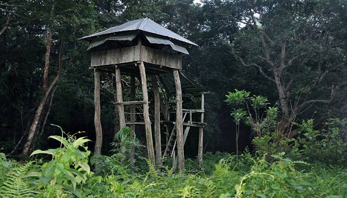
In the afternoon visit Chapramari forest tower for wild life viewing or spent time at Murti river bed.
Overnight in Dhupjhora/Murti.
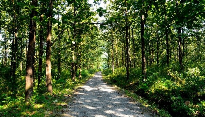
Day 02: Jeep safari in the morning.
Complete your Jungle Safari, return to resort.
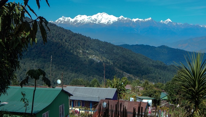
After Breakfast, drive through hills of Eastern Himalaya to reach Rishop. Afternoon, walk through the villages.
Overnight in Rishop.
Day 03: Rishop to Kolakham- visit Lava & Loleygaon
View sunrise from Tiffin-dara view point (trek 1.5 km).
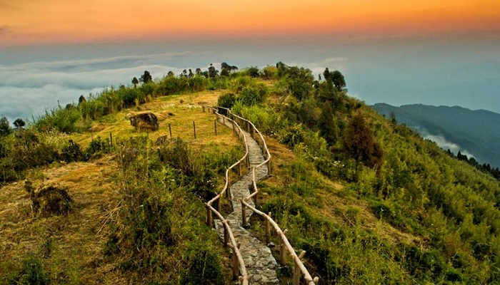
After Breakfast, drive to Kolakham. Enroute visit Loleygaon- walk through heritage forest canopy, hanging wooden footbridge amidst the huge pines and oaks. Visit Lava monastery.
Overnight in Kolakham.
Day 04: Sightseeing and return journey
After breakfast, visit Changey water falls.
Drop to destination for return journey.
What You Should Know About Dooars
The Dooars or Duars are the foothills of the eastern Himalayas in North-East India around Bhutan. Duar means ‘door’ and the region forms the gateway to Bhutan from India. There are 18 passages or gateways through which the Bhutanese people can communicate with the people living on the plains. This region is divided by the Sankosh River into the Eastern and the Western Dooars. The Western Dooars is known as the Bengal Dooars and the Eastern Dooars as the Assam Dooars. Dooars are synonymous with the term Terai used in Nepal and northern India and form the only nitrate-rich plain in India.
The Dooars region politically constitutes the plains of Darjeeling Himalayas, the whole of Jalpaiguri district, and the Alipurduar district. The altitude of the Dooars area ranges from 90 to 1,750 m. Innumerable streams and rivers flow through these fertile plains from the mountains of Bhutan. The major river is the Teesta besides many others like the Jaldhaka, Murti, Torsa, Sankosh, Dyna, Karatoya, Raidak, and Kaljani rivers, among others. Monsoon generally starts from the middle of May and continues till the end of September. Winters are cold with foggy mornings and nights. Summer is mild and constitutes a very short period of the year. Dooars is the ideal place in Bengal for monsoon traveling.
The economy of Dooars is based on three “T”s – Tea, Tourism, and Timber. The main industry of the Dooars region is the tea industry. Thousands of people are engaged in the tea estates and factories. Several people are also engaged in the cultivation of betel nuts which contributes to the economy. Cultivation of other crops is done mainly for local consumption.
The area is dotted by several national parks and wildlife sanctuaries which attract a lot of tourists from all over India and abroad, making it an important contributor to the economy and also the employer of a number of people. The timber industry flourishes in this region. A number of sawmills, plywood industries, and other allied businesses also act as important contributors to the economy.
Dooars act as a doorway to Bhutan; thus, the export-import industry also flourishes in the area. The towns of Jaigaon, Siliguri, and Phuntsholing are important hubs of the export-import industry.
Contact Us for more details.

