Guwahati
Guwahati the capital of Assam is the gateway to the Northeast and also one of the largest cities of this region. There are several opportunities for sightseeing in this city. The most prominent attractions of Guwahati are the Kamakhya Temple, Fancy Bazaar, Regional Science Center, Assam State Zoo and Accoland. Visiting the Kamakhya Temple promises to be a special spiritual experience. Another attraction is the Umananda Temple situated in the island of Brahmaputra, which can be reached through a boat ride. There are also several gardens in the city where you can spend quality time with your friends and family.
Kaziranga National Park
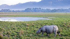
The park is located on the banks of the river Brahmaputra on the lap of Karbi Anglong hills in the North East state of Assam is the most popular tourist attraction of the state. Covering an area of about 430 sq km, it partly lies in Golaghat District and partly in Nagaon District of Assam.
Kaziranga National Park is an example of success in conservation efforts to save the one-horned rhinoceros and other endangered mammals and faunas in India. This world heritage site is famous throughout the world for Great Indian one horned Rhinoceros. In fact the park refuges 70% one horned Rhino of the earth. Kaziranga was crowned as a National Park in 1974.
The important wildlife, besides Rihno, Tigerand Leopard, found are – Sambar, Barking deer, Hog deer, Gaur,Fishing Cat, other Lesser cats, Large Indian Civet, Small Indian Civet, Hog Badger, Hoolock Gibbon, Capped Langur, Assamese Macaque, Rhesus Macaque, Sloth Bear, Gangetic Dolphin and Otter etc. Around 480 bird species are identified here which includes Hornbills, Osprey, Bengal Florican etc. Around 32 species of flora and 60 species of fishes are identified in the Kaziranga national park.
Majuli
Surrounded by the Brahmaputra river, Majuli is one of the largest river islands in the world covering an area of 886 sq km. However the area of Island has been gradually reduced from 282,165 acres in 1853 due to erosion.
Around the 15th Century the Vishnava culture was introduced here by the revered Assamese saint Srimanta Sankardeva and his disciple Madhvdeva and slowly Majuli became a centre of Vaishnava practice. Over fifteen Vaishnava monasteries (Satra) are in Majuli. The major monasteries are Kamalabari, NatunKamalabari, Auniati, Garmur, Samoguri, Dakhinpat and Bengenaati. These satras are regarded as the prime centres for Assamese art, culture and religion. Auniati is known for its great collections of old utensils, jewellery and handicrafts of this part of North Eastern India.
Upper Majuli is resided by tribal groups like Mising and Deoris where tribal people still maintain their tradition of colourful costumes and festivals.
Nameri National Park
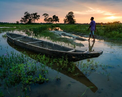
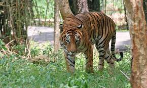
Located in the Sonitpur District of Assam, India, the Nameri is the third National Park of Assam. The national park also includes the core area of Nameri Tiger Reserve (344 sq km). Nameri National park adjoins Pakhui Sanctuary of Arunachal Pradesh. River Jia- Bhoroli and its tributaries- Diji, Dinai, Doigurung, Nameri, Dikorai and Kharietc, which form the important water source of these National Parks and reserves, run down the entire region.
Nameri National Park and Sonai-Rupai wildlife sanctuary are only Protected Areas in the North Bank of the Brahmaputra in the Civil District of Sonitpur, Lakhimpur and Dhemaji.
Dirang & Bomdila
Dirang is mostly an overnight tourist destination for visitors going to Tawang. Dirang is ideally located almost halfway in between Tezpur (Assam) and Tawant (Arunachal). As a result it has come up as an overnight destination for tourists visiting Tawang.
Dirang is a small town in the West Kameng district of Arunachal Pradesh. Dirang is located on the bank of river Kameng (Known as Jia Bharali in Assam). Since it is on the river valley the altitude is relatively low (4900 ft). The weather here is not very cold and quite pleasant during most of the year. The distances from different places are-
Tawang– 138 km, Bomdila– 43 km, Bhalukpong– 144 km, Tezpur– 200 km.
Bomdila is the headquarters of West Kameng district in the state of Arunachal Pradesh in India. The small town of Bomdila is perched amongst the panoramic settings of the lofty ranges of the eastern Himalayas. It is a remote hamlet and like few other Indian towns, it has escaped the virtual tourist invasion in recent times. Bomdila is known for its scenic environs along with its Buddhist monasteries and apple orchids. It also attracts the adventure seeker with its numerous trekking trails.
Bomdila is mostly an overnight tourist destination for visitors going to Tawang. It is located at a distance of 43 km from Dirang.
Tawang
Tawang is a town situated at an elevation of 3,048 metres (10,000 ft) in the northwestern part of Arunachal Pradesh of India. Tawang town is located approximately 555 kilometres (345 mi) from Guwahati and 320 kilometres (200 mi) from Tezpur. Tawang has an average elevation of 2,669 metres (8,757 ft).
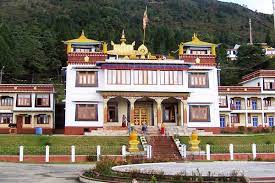
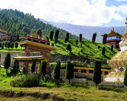
Tawang Monastery was founded by the Mera Lama Lodre Gyasto in accordance with the wishes of the 5th Dalai Lama, Nagwang Lobsang Gyatso. It belongs to the Gelugpa sect and is the largest Buddhist monastery in India. The name Tawang means Horse Chosen. It is said to be the biggest Buddhist monastery in the world outside of Lhasa, Tibet.
Visitors to Tawang require special Inner Line permits from the government which are available in Kolkata, Guwahati, Tezpur, and New Delhi. Most of the travel from the plains is on a steep hill road journey, crossing Sela Pass at 4,176 metres (13,701 ft). Tourists can travel to Tawang from Tezpur, Assam by road. Tezpur has direct flights from Kolkata.
The top sightseeing places in Tawang are Sela Pass, Tawang Monastery, Madhuri Lake, Nuranang Falls, Tawang War Memorial, Gorichen Peak.
Shillong
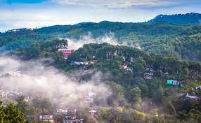
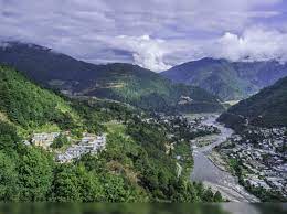
Shillong is the capital city of Meghalaya as well as the District headquarter of East Khasi Hills District. The name Shillong is derived from U-Shyllong, a powerful deity and is situated at an altitude of 1,491m. This beautiful city is 103km from Guwahati, the nearest air and train link. The presence of many well reputed educational institutions, many of them established by various missionary groups make Shillong the hub of education for the entire north-east.
Places to visit in Shillong includes Elephant Falls, Umiam Lake, Shillong Peak & View Point, Don Bosco Museum, David Scott Trail and Sweet Falls.
Cherrapunji
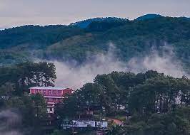
Cherrapunji is a sub divisional town in the East Khasi Hills district in the Indian state of Meghalaya. It is credited as being the wettest place on Earth. However, nearby Mawsynram currently holds that record. Though, it still holds the world record for the most rainfall in a calendar month and in a year. It received 9,300 mm (366 in) in July 1861 and 26,461 mm (1,041.75 in) between 1 August 1860 and 31 July 1861.
It is the traditional capital of a hima (Khasi tribal chieftainship constituting a petty state) known as Sohra or Churra.
The original name for this town was Sohra, which was pronounced “Churra” by the British. The Meghalaya state government has renamed Cherrapunjee back to its original name, “Sohra”. There is a monument to David Scott (British Administrator in NE India, 1802–31) in the Cherrapunji cemetery. The history of the Khasis – the inhabitants of Cherrapunji – may be traced from the early part of the 16th century. Between the 16th and 18th centuries these people were ruled by the ‘Syiems (rajas or chiefs) of Khyriem’ in the Khasi hills. The Khasi hills came under British authority in 1883.
Mawlynnong
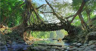
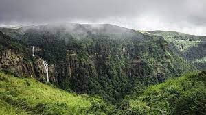
Mawlynnong Village located in the East Khasi Hills of Meghalaya, also referred as ‘God’s own garden’ has won the acclaim of being the cleanest village in Asia in 2003. The village known for its cleanliness is located around 90 kms from Shillong and is a community based ecotourism initiative. The community has made collective effort to maintain the ambience of a clean village. The village offers picturesque natural beauty, a trek to the living root bridge at a neighbouring village Riwai. The village also offers a sight of natural balancing rock, a strange natural phenomenon of a boulder balancing on another rock.
